QLandkarte: Unterschied zwischen den Versionen
GISWiki - Das freie Portal für Geoinformatik (GIS)
HeinzJ (Diskussion | Beiträge) |
HeinzJ (Diskussion | Beiträge) (→Weblinks) |
||
| Zeile 26: | Zeile 26: | ||
* http://qlandkarte.sourceforge.net/ | * http://qlandkarte.sourceforge.net/ | ||
| + | |||
| + | http://qlandkarte.sourceforge.net/shot2.jpg | ||
[[Kategorie:GPS]] | [[Kategorie:GPS]] | ||
| Zeile 32: | Zeile 34: | ||
[[Kategorie:Garmin]] | [[Kategorie:Garmin]] | ||
[[Kategorie:Linux]] | [[Kategorie:Linux]] | ||
| − | |||
| − | |||
| − | |||
| − | |||
Version vom 20. Januar 2007, 12:57 Uhr
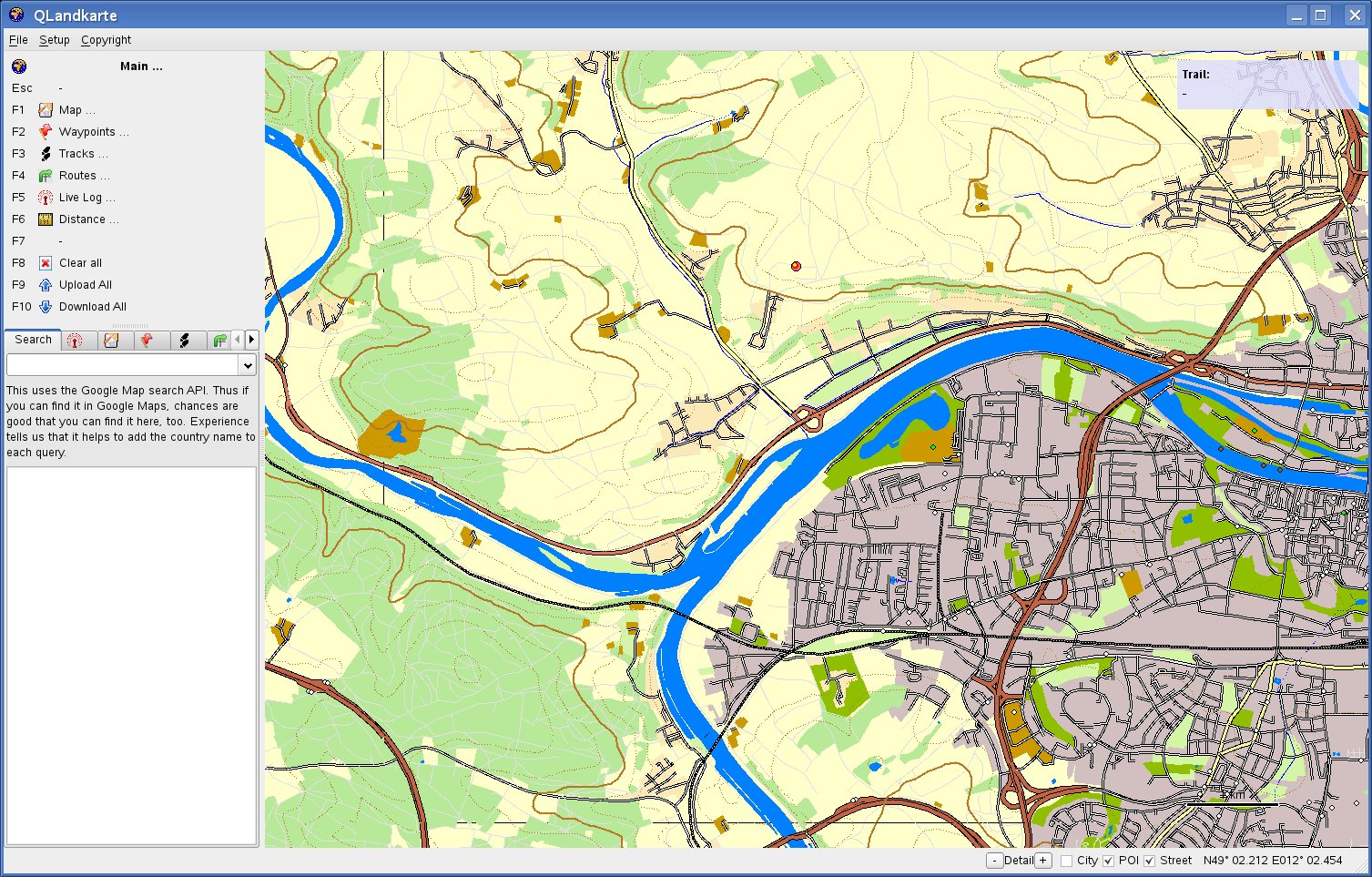
QLandkarte is aimed to be a GPSMapEdit counterpart for GNU/Linux.
Features
- Supporting Garmin's GPSmap 60CSx unit. For other USB units you have to get involved.
- Import map collections (needs *.tdb file, basemap and map tiles)
- Load single *.img tiles
- Display maps and object information
- Search for places via Google Maps API
- Search for geocaches via opencaching.de
- Save workspace to *.gpx
- Select and upload maps to device
- Waypoints
- create waypoints
- move / edit waypoints
- upload / download waypoints
- load waypoints from *.gpx
- save waypoints to *.gpx
- Tracks
- download tracks
- load tracks from *.gpx
- save tracks to *.gpx
- Print maps to PDF or paper.